re-drawing the maps
Jul. 30th, 2006 01:14 pmI did finally wrestle the census map data into something useable and I wrote up the code to rasterize it. This really does help:
before: after:
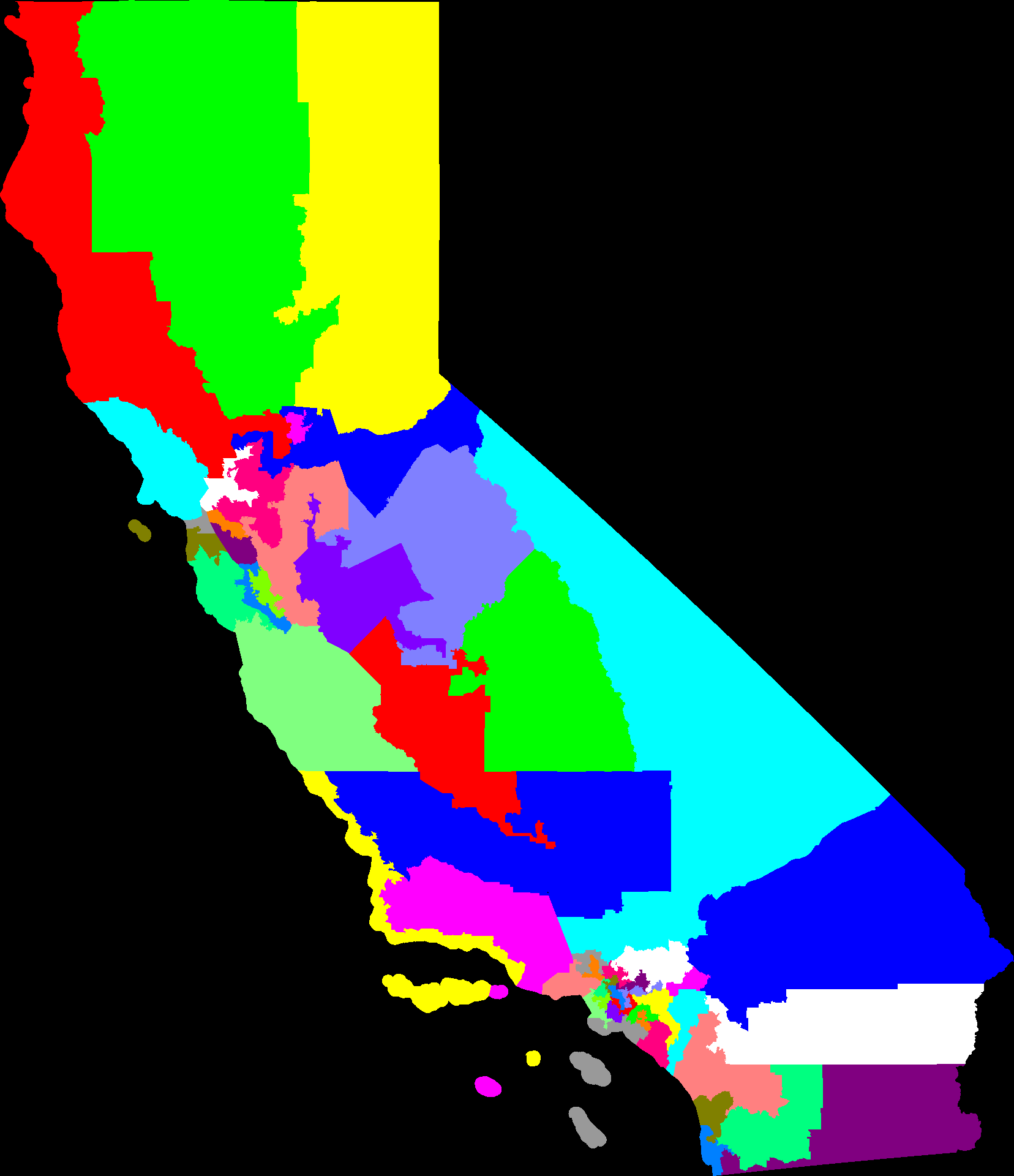
And a big png map of CA congressional districts
When you look at the big map it shows that my rasterizing is still missing a few pixels here and there and sometimes whole triangles it looks like. Also the map has lost the information about what regions are water. So, the whole SF bay has disappeared. That and some major cities would be some nice landmarks to add.
[Update Sun, 5:12 PT] Fixed the triangle rendering problem. It's even prettier now, but still has no water or cities.
before:
after: And a big png map of CA congressional districts
[Update Sun, 5:12 PT] Fixed the triangle rendering problem. It's even prettier now, but still has no water or cities.